Interactive maps
Put your places and your data on a map people can actually use
A map earns its place on a website when location is the question: where's the nearest one, what's on this site, what's happening in this area. Sometimes that's a branded map of a dozen stores. Sometimes it's thousands of records over real terrain and property boundaries. They're different jobs, and the first decision is which one you have.
Rather just ask someone? Talk to usIn short
An interactive map puts your own places or data on a map visitors can search, filter and tap for detail. PixelApps builds branded maps for stores, venues and precincts, and geospatial maps that show terrain, property parcels and your own data layers, styled to your brand and quick to load on a phone.
- Branded map or geospatial map?
- A branded map is drawn or styled for you and shows a manageable number of places: stores, venues, trail stops, a precinct. A geospatial map is built on real spatial data, such as terrain, property parcels and survey layers, and can carry thousands of records. The first is about look and ease. The second is about accuracy and scale.
What goes into it
Start with the question the map answers
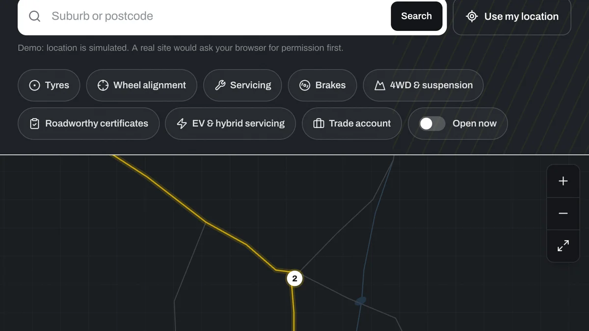
'Where's my nearest?' needs search by suburb and a list beside the map. 'What's on this land?' needs layers that switch on and off. A map without a question behind it is decoration.
Your data decides the build
A few dozen places can live in a simple list someone edits. Thousands of records, or shapes rather than pins, need to be prepared and served so the map stays quick. We look at the data before recommending anything.
A list as well as a map
Not everyone can use a map, and nobody wants to on a slow connection. Every place on the map should also be reachable from a list, which helps people using screen readers and helps search engines too.
Terrain and 3D when height matters
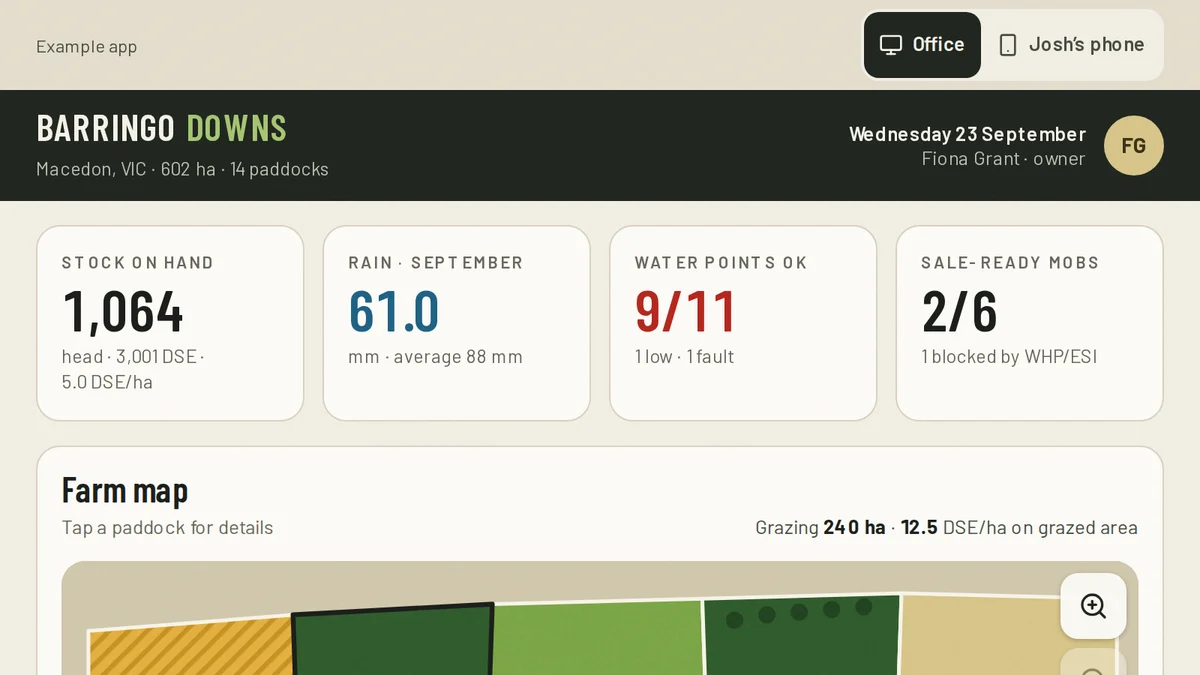
For a trail, a farm, a quarry or a development on a slope, the shape of the ground is part of the story. Terrain and 3D buildings can be shown in the browser when they add understanding, and left out when they'd only slow it down.
Check the licence on every layer
Much government spatial data in Australia is published for open use, but not all of it, and commercial data comes with terms. You need the right to publish each layer you show. We'll flag the ones to check.
Someone has to keep it current
A store closes, a trail reroutes, a stage releases. Decide who updates the map and make that a two-minute job, or the map goes stale.
Embedded map, branded map or geospatial map
From free to bespoke, and what each is good for.
| Criteria | Free embedded map | Custom branded map | Geospatial data map |
|---|---|---|---|
| Best for | One or a few addresses | Stores, venues, trails and precincts | Land, assets and large datasets |
| Look | The provider's standard map | Drawn or styled to your brand | Styled to your brand over real map data |
| Search and filter | None | By suburb, type or feature | By layer, attribute and area |
| How many places | A handful | Dozens to a few hundred | Thousands, including shapes and boundaries |
| Terrain and 3D | No | Not usually needed | Where height or built form matters |
| Running costs | Free | Hosting only, for a drawn map | May include map data or usage fees |
What to bring to the first conversation
These decide what kind of map you need, and most can be answered in a sentence.
- The question the map should answer for a visitor
- Your places or records, and where that list lives today
- Roughly how many there are, and whether they're points, routes or areas
- Any layers you want underneath: terrain, parcels, zones, your own surveys
- Who owns each dataset, and whether you can publish it
- Who will keep it up to date
- Where it sits on your website, and what a visitor should do next
When this isn't the answer
If you have one address or a few, a free embedded Google map is enough and we'd tell you to use it. A custom map is worth building when visitors need to search or filter, when the map has to carry your brand, or when the data is the point. We display and style spatial data. We don't survey it or supply it, so the accuracy of what's shown rests with its source.
Tell us what people need to see
Describe the product, place or data, who needs to look at it, and what they should be able to do. We'll tell you what we'd build, what it depends on, and when something off the shelf would do the job.
Common questions
Usually, yes. A list of places with addresses or coordinates is enough to start. For larger or messier data we clean and prepare it first so the map stays quick.
Yes, where the data is available and you have the right to publish it. Parcels, terrain, zones and your own survey layers can be shown together and switched on and off.
A drawn, branded map has none beyond hosting. Maps built on a provider's map data can have usage fees once traffic passes a free allowance, and we'll estimate that before you commit.
Yes. Most map use is on a phone, so we design for a thumb first: large targets, a list beside the map, and data loaded only as it's needed.
Yes. We set it up so adding or changing a place is a short edit to a list, not a job for a developer.
See it working
Software we'd build, running with a fictional business and sample data. Use it, then decide.
Also worth a look
- Interactive Site Plans and Apartment Finders
- Digital Twin or Interactive 3D Model?
- Custom Product Configurator Development
- See one working: a bracelet configurator you can use right now
Last reviewed . Custom work is quoted individually, at a fixed price.